We make it up the steep section from the saddle of North Dome onto Indian Ridge. We have come 4.2 miles from Yosemite Falls. North Dome is in the background.
All the way up Indian Ridge we are going in and out of sunshine- sort of like pools of light every minute or so, and then back into the big trees. The wind is cool and the sun hot, so we are cool by the time the sunlight appears, and hot by the time the trail goes back into the woods.
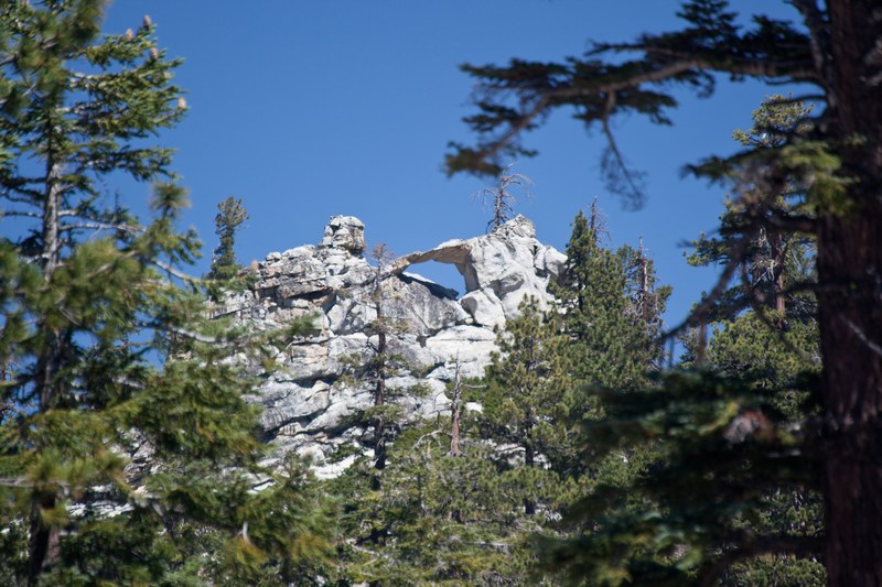
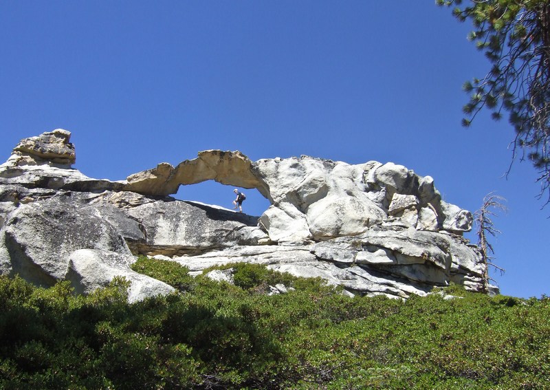
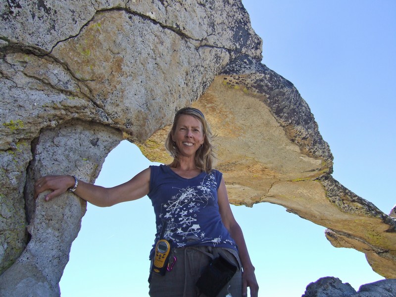
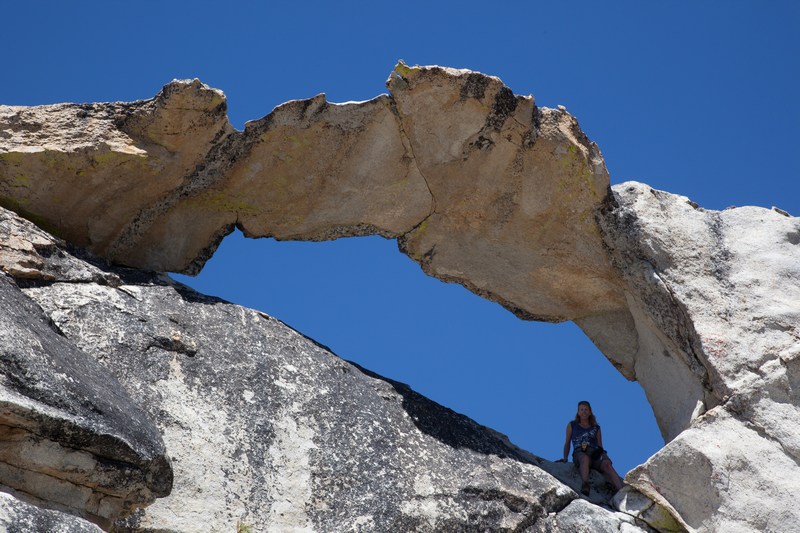
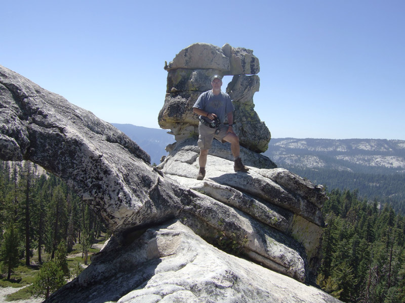
Finally we can see Indian Rock and the granite arch. It's time to hike up for some close-ups.
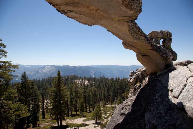
After a sunny sit-down on the rocks, we set off down and round the back of Indian Ridge toward Snow Creek. It's basically all downhill now, gently sloping and into the trees. This is as far as I got several years ago when first doing a day-hike to here from the Yosemite Falls trailhead in the valley with Scott.
At that time in the Spring, the Indian Ridge crest was clear, but the snow was up to my thighs as I started descending just past Indian Rock. At that time, we turned back, suspecting that the snow pack would only get worse in the valleys behind...and that being an unknown, it could be very dangerous trying to come back down into the valley via Snow Creek. Knowing what I know now about how far it is coming down that way, and how much snow there surely would've been, turning back in 2002 was definitely the right thing to do.
Now however, it's clear sailing with a slight breeze all the way to Snow Creek
Just before snapping this picture at the sign, we met up with 3 twenty-somethings coming out onto the trail from the woods. One of them asked politely where they were. They had parked at Porcupine Flat on the Tioga Road and started bushwhacking in toward Yosemite Valley. They had half a bag of Cheetos, a half gallon bottle of water, no packs of any kind, no spare clothes, and no map other than a sketch without the trail junctions on it. We had a nice chat, showed them where they were on our map, and suggested following the trail back to the road. You never know when you might find yourself at an impassible rock drop-off, or even get lost in the process...
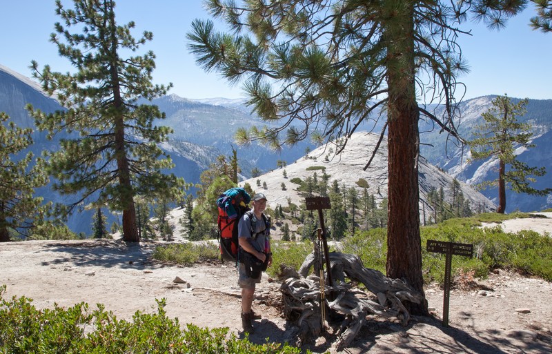
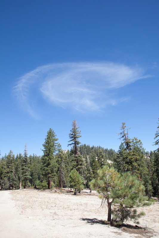
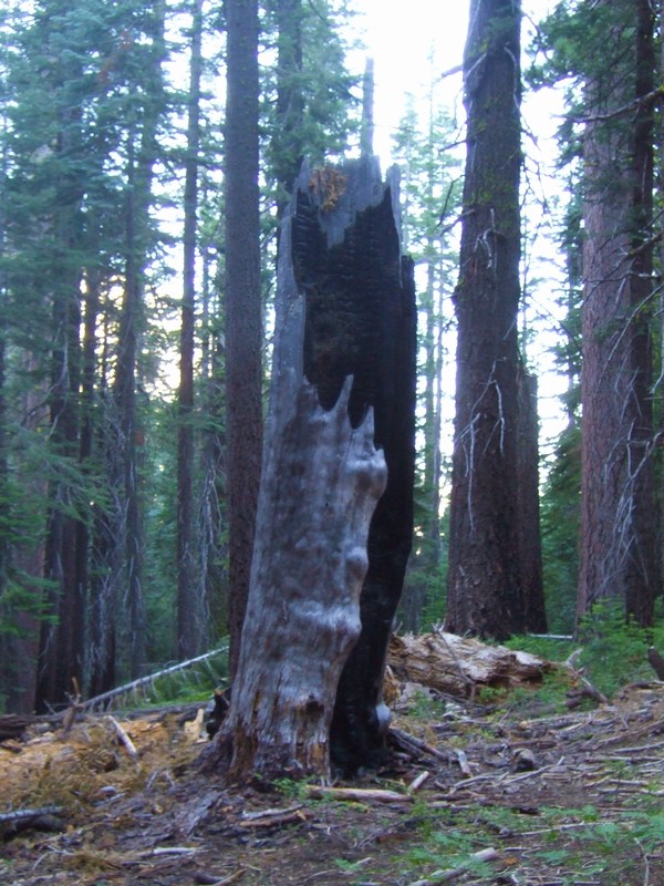
A smoke signal welcome on Indian Ridge
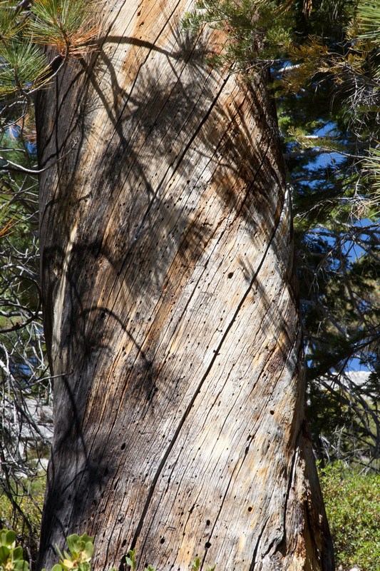
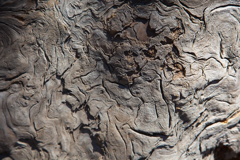
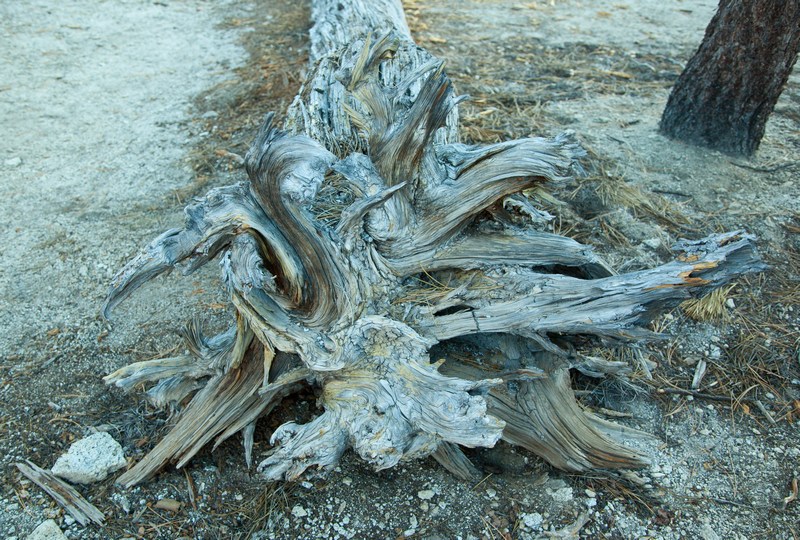
Bark En Route and On Root
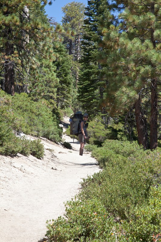
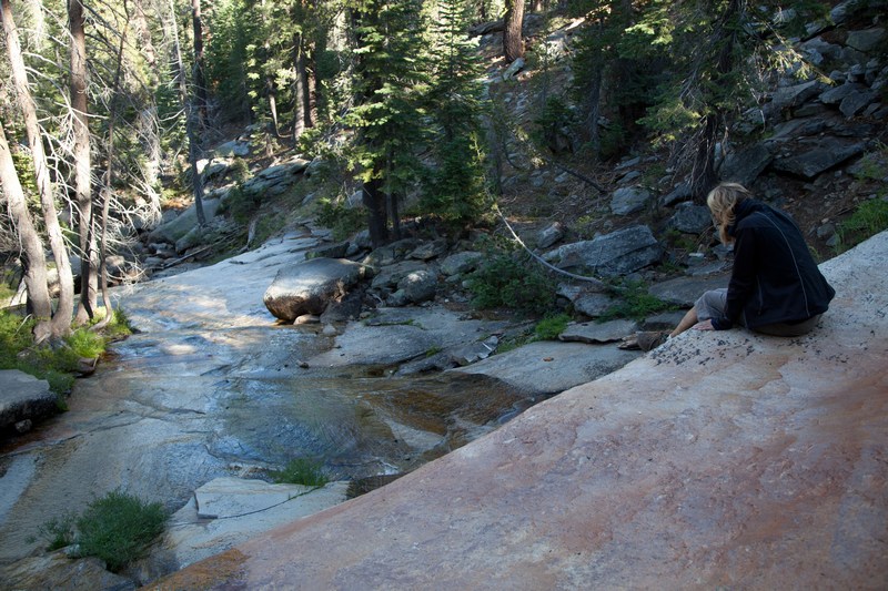
For a couple of hours we enjoyed walking down-trail through open coniferous forest, getting closer and closer to the fall line of Porcupine Creek. There's a short spur that leads to the water, and well before that, you can hear a waterfall.
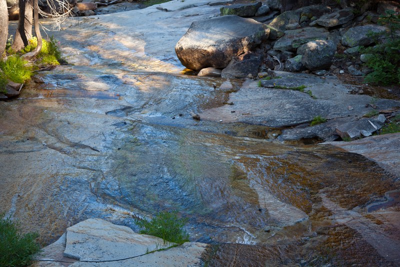
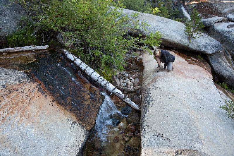
The creek access is a beautiful open spot with open rock for sitting and looking downstream...
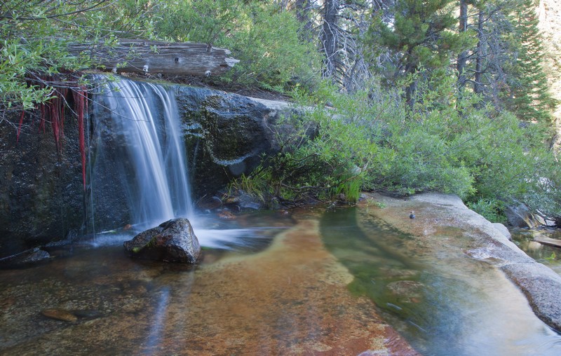
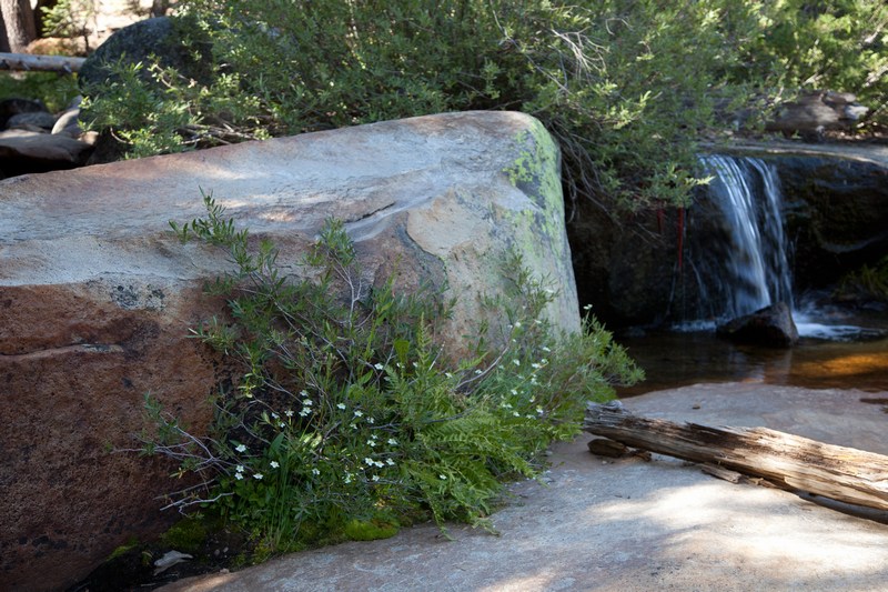
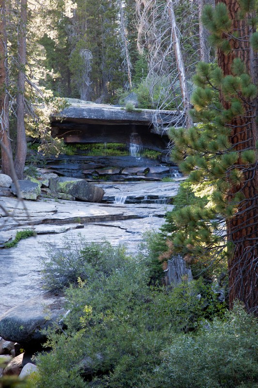
A massive plinth of rock spans the creek's path but is freestanding over the water like a bridge, and makes for a remarkable watercourse. First there is the entry waterfall.
How's that for a self supporting rock bridge?
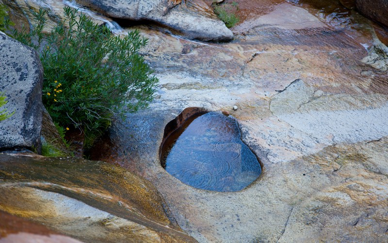
A big heart shaped pothole downstream
While I pumped water, Jackie cooked up dinner. We had a nice noodle soup with extra sun dried tomatoes and big slices of shiitake mushrooms tossed in. The sun filtered through the trees, and the view was perfect.
After that, we kept heading down, now only a mile or two from the beginning of the switchbacks.
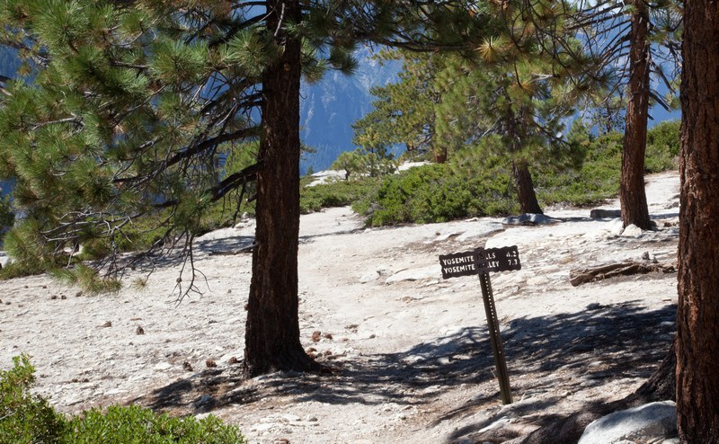
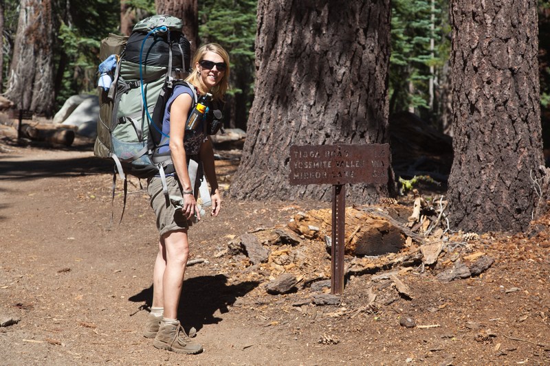
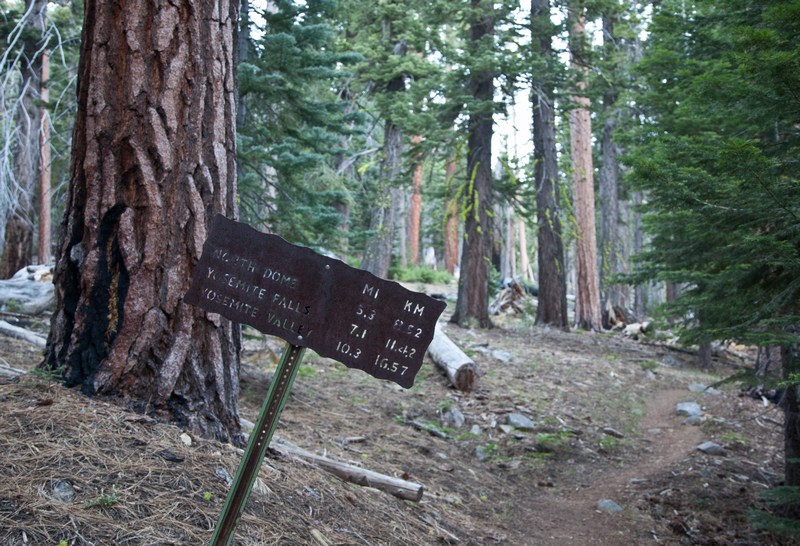
Slowly the sounds of the water recede and it's back to silence of the woods. Looking back, the sign says:
North Dome 5.3 miles
Yosemite Falls 7.1 miles
Yosemite Valley 10.3 miles
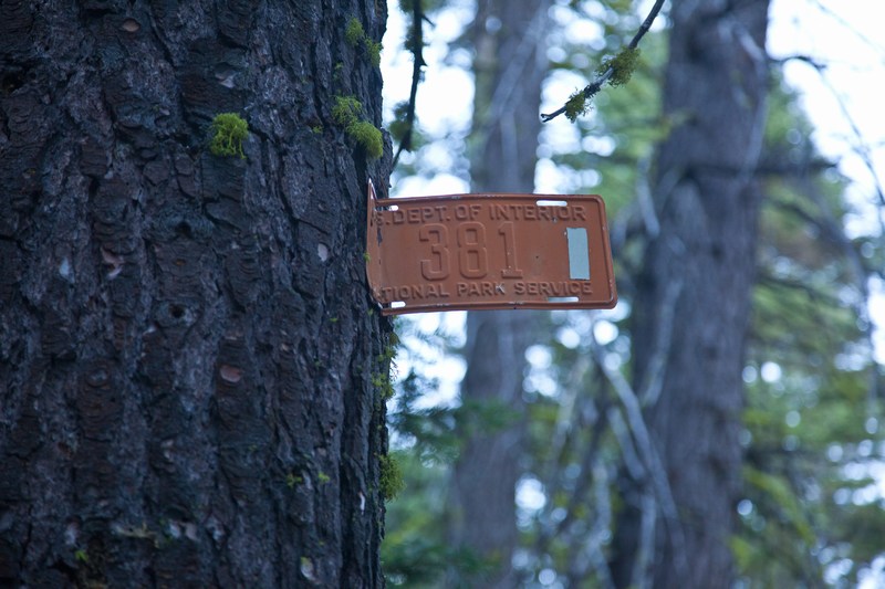
A most remarkable "License" plate from long ago
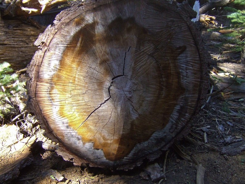
Knotted & Knarly with Kneedles
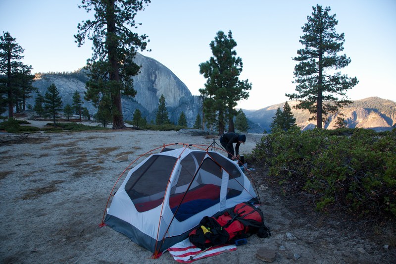
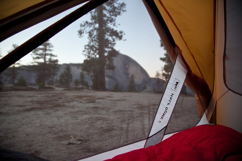
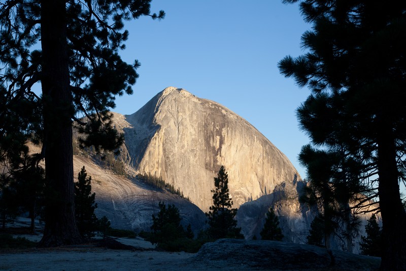
Now the sun is getting low (or at least being attenuated by the mountains), as we arrive at a great camping spot. Several tents are already in the verge of the trees, but we prefer the open area on gravel and rock which affords a spectacular view right out of the tent. Spending the last night right here, we've found the perfect place for getting a sense of the vast scale of these mountains.
Tomorrow we'll be going down the steepest trail descent into the valley...the Snow Creek Switchbacks!